Flood zones and insurance on Nantucket: what to check before you offer
A sandbar, thirty miles out
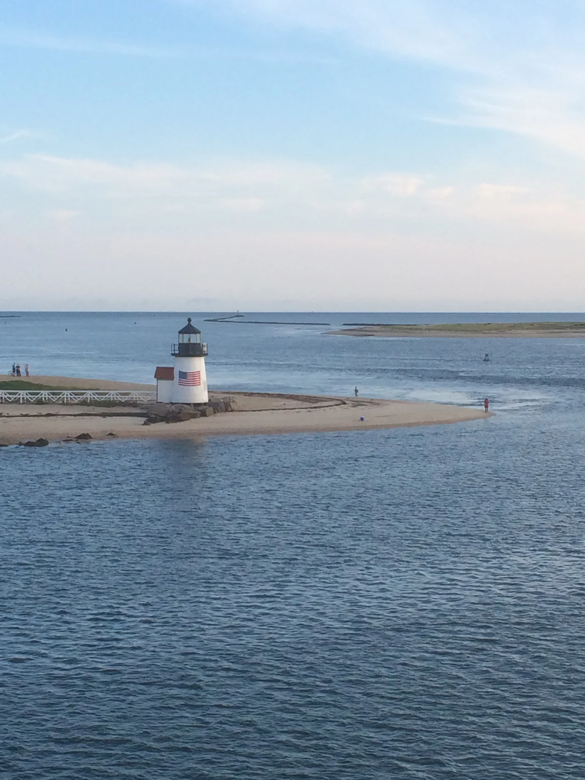
Nantucket is a sandbar thirty miles out to sea. That is the whole charm and the whole risk profile in one sentence — and it is why flood zones here are not fine print. They are a line item in the budget, a lever in the negotiation, and occasionally the difference between the right house and the wrong one. The town takes it seriously enough to have planned for it in detail: its Coastal Resilience Plan projects $3.4 billion in cumulative structure losses by 2070 if nothing were done — which is exactly why a great deal is being done, from a $930 million project roadmap down to elevation guidelines for historic buildings. And downtown already floods on the biggest storm tides: the low blocks near the harbor and the wharves go under in a serious nor'easter — a known, mapped, planned-for fact of the historic core, not a secret the listing forgot to mention.
One distinction up front, because buyers conflate them constantly: flood risk and erosion are different problems. Flood is water arriving on your parcel; erosion is your parcel leaving. They concentrate in different places — flood in the low harbor-side and pond-side land, erosion on the open south and east shores — and they are checked in different ways. This page is the flood half; the waterfront page handles erosion honestly, and the coastal-erosion guide covers that moving-shoreline half of the picture in full.
None of this should scare you off a coastal purchase. It should change when you ask the questions.
Reading the map
FEMA's Flood Insurance Rate Map (FIRM) assigns every parcel a zone. Three matter here:
VE — coastal high-hazard. The 1%-annual-chance flood plus wave action. The island's most exposed shorefront carries VE. Strictest building standards, priciest insurance.
AE — the 1%-annual-chance floodplain without the wave loading: much of the low harbor-side land, pond edges, and low village pockets. A Base Flood Elevation (BFE) is published — the height your insurable life is measured against.
X — moderate or minimal hazard. Most of the island's interior. No mandatory insurance, and coverage is cheap if you want it anyway.
VE and AE together are the Special Flood Hazard Area (SFHA) — the "100-year floodplain," a phrase that misleads everyone: it means a 1% chance every year, which compounds to roughly one-in-four odds over a 30-year mortgage.
Look any parcel up free at FEMA's Map Service Center or the town's GIS viewer — it takes two minutes and belongs in the first conversation about a coastal property, not the last. Two houses on the same lane can carry different zones; the line runs through yards, not neighborhoods.
What insurance actually looks like
When it's required. In a VE or AE zone with a federally backed mortgage, flood insurance is mandatory. Cash buyers can skip it; on this island, most shouldn't.
Why the federal program alone is rarely enough here. NFIP policies cap out around $250,000 for the building and $100,000 for contents — numbers that are a rounding error against Nantucket replacement costs. Coastal owners here typically layer excess or private flood coverage on top, and the private market prices each property on its own elevation and history.
Pricing is property-specific now. Under FEMA's current rating approach, premiums key off the individual property — elevation, distance to water, replacement cost — not just the zone letter. Two AE houses a street apart can pay very different premiums. An elevation certificate — a surveyor documenting how the house sits against the BFE — is often the single document that moves the number most.
One more island reality: wind. Coastal Massachusetts policies typically carry wind deductibles of 1–5% of dwelling coverage. On a $4 million rebuild value that is a $40,000–$200,000 out-of-pocket layer before wind coverage pays — a different thing entirely from the $1,000 all-perils deductible off-island buyers assume. The homeowners-market side — which carriers write here, the FAIR Plan, and how to run the quote — has its own guide.
And a piece of good news: an existing NFIP policy can generally transfer to the buyer at sale, preserving its rating history. If the seller carries one, ask for it — it is sometimes genuinely valuable.
Where it concentrates on this island
The five checks, before you offer
Flood zones on Nantucket — frequently asked questions
Do I need flood insurance on Nantucket?
If the home sits in a VE or AE zone and carries a federally backed mortgage — yes, it's required. Outside those zones, or paying cash, it's optional; most coastal owners here carry it anyway, because standard homeowners policies exclude flood entirely.What's the difference between VE and AE zones?
Both are the 1%-annual-chance floodplain. VE adds wave action — it's the coastal high-hazard designation, with stricter construction standards and higher premiums. AE is stillwater flooding with a published Base Flood Elevation. X is everything of lower hazard.How much does flood insurance cost here?
It is genuinely property-specific — elevation, distance to water, and replacement cost drive it more than the zone letter. Plan on an NFIP policy plus excess coverage for a high-value home, and get the real quote during diligence rather than budgeting a guess.Can a house get out of a flood zone?
Sometimes. If the structure actually sits above the base flood elevation, a surveyor's elevation certificate can support a Letter of Map Amendment (LOMA) removing the mandatory-insurance requirement. It's parcel-by-parcel and worth asking about whenever a house sits near the zone line.Does a flood zone hurt resale?
On Nantucket, less than off-island logic predicts — Brant Point and the harbor edge are mapped flood zones and remain among the island's most valuable addresses. What hurts resale is an unpriced surprise. A documented elevation, transferable policy, and clean history are resale assets.Is erosion the same thing as flood risk?
No — and the distinction matters to where you look and what you check. Flood is mapped by FEMA and priced by insurers; erosion is a shoreline dynamic checked through setback history and the town's resilience planning. South-shore oceanfront can carry high erosion exposure and modest flood exposure; a harbor-edge cottage can be the reverse.Every coastal parcel has a flood story
Sean Kalman is a sixth-generation Nantucketer, a Nantucket REALTOR®, and the founder of The Kalman Co., brokered by eXp Realty. He runs these five checks with every coastal buyer — before the offer, when they still cost nothing. Reach him at sean@thekalmanco.com or 508-228-4578. Equal Housing Opportunity.