Coastal erosion on Nantucket: a buyer's guide to a moving shoreline
The shoreline, in numbers
Key facts
- The Town of Nantucket's Coastal Resilience Plan (2021) projects $3.4 billion in cumulative structure losses by 2070 if no action were taken — the reason it lays out a $930 million project roadmap. (Source: Town of Nantucket Coastal Resilience Plan, 2021.)
- Long- and short-term shoreline change rates for the entire Massachusetts coast, Nantucket included, are published at roughly 50-meter intervals by the state's Shoreline Change Project. (Source: Massachusetts CZM / USGS.)
- The 'Sconset bluff has averaged roughly three feet of shoreline loss a year over recent decades, with far more in a bad storm winter. (Source: shoreline monitoring as published in our waterfront guide, 2026.)
- The Sheep Pond Road stretch of Madaket has run seven to ten feet of loss a year in its most active periods. (Source: shoreline monitoring as published in our waterfront guide, 2026.)
- In May 2026, Nantucket Town Meeting voted down a proposed 3,000-foot expansion of the 'Sconset geotube project, 182–163 — the bluff's protective strategy is genuinely unsettled as of this writing. (Source: Nantucket Town Meeting, May 2026.)
- Nantucket's wetland regulations (revised effective January 1, 2025) run a graduated buffer around coastal and inland resource areas: a 25-foot no-disturb zone; no structures and no more than 50% disturbance from 25 to 50 feet; structures from 50 to 75 feet only with a 1.5× vegetation-enhancement offset in the 25–50-foot band; structures from 75 to 100 feet with Conservation Commission review and an Order of Conditions; and no Commission review beyond 100 feet. (Source: Nantucket Conservation Commission, summary of the regulations effective January 1, 2025.)
- Around the island's great ponds — any pond that held more than 10 acres in its natural state — a separate rule applies: the 200 feet landward of the pond's mean annual high-water line is a defined great pond area. It carries no buffer zone of its own, but all work proposed inside it requires a minor-activity filing with the Conservation Commission before it starts and is evaluated for preserving continuous natural habitat linkage to the pond. (Source: Nantucket Conservation Commission, Wetland Protection Regulations effective January 1, 2025, § 390-23, Great Pond Area.)
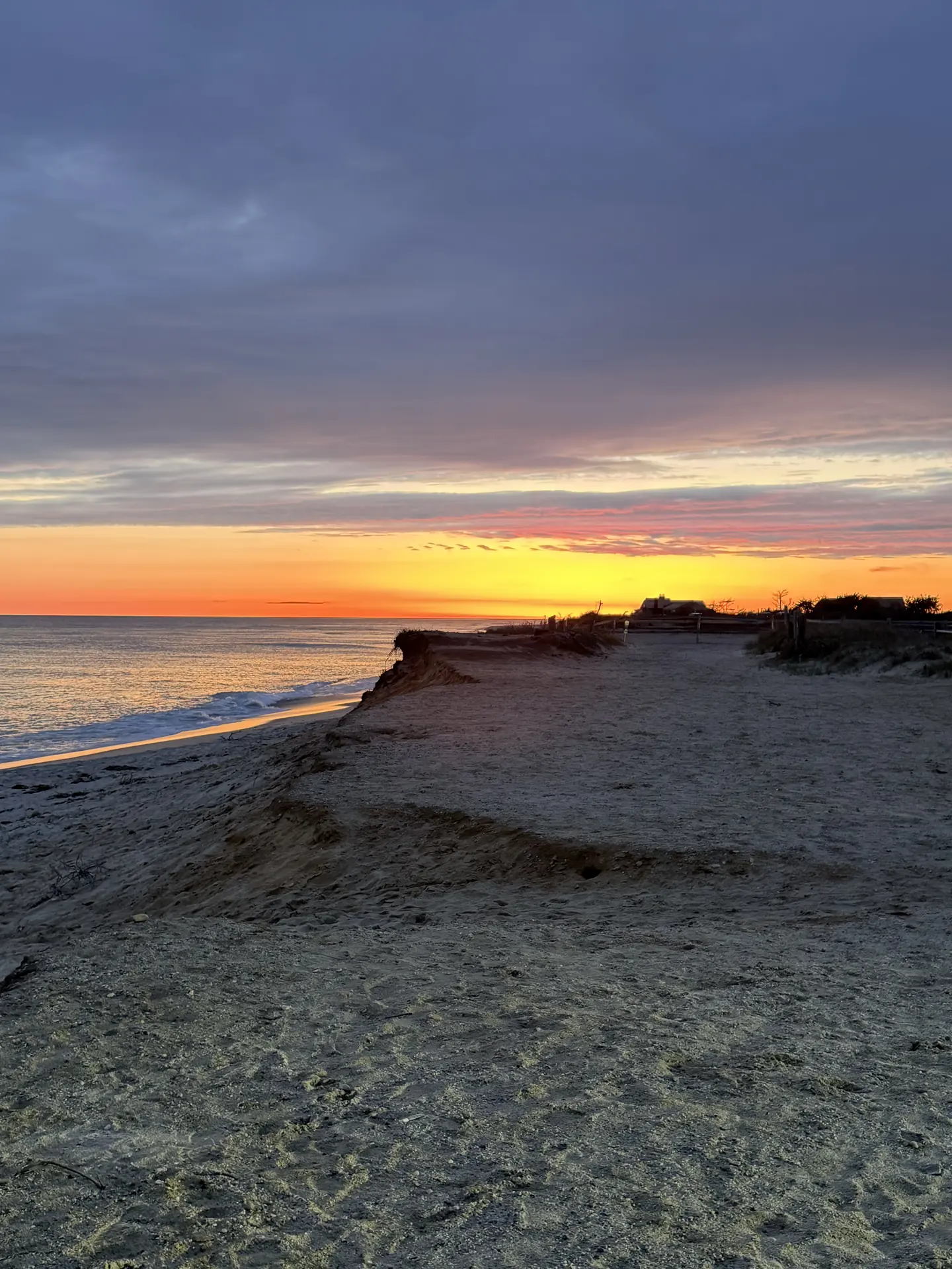
Start with what the island is
Nantucket is a pile of glacial sand thirty miles out to sea — moraine and outwash, not bedrock. That is the whole charm and the whole geology in one sentence. Sand moves. It always has: the island's beaches, spits, and ponds are the visible record of centuries of the Atlantic rearranging the material it was built from. Coskata's barrier beaches, the opening and closing of pond cuts, the sandbars off the south shore — all of it is the same process the shorefront experiences.
So the honest framing for a buyer is not "is there erosion on Nantucket?" — there is, and everyone who owns here knows it. The honest framing is: which shores move, how much, and what does that mean for this particular parcel? Those questions have real answers, from public sources, and they belong in your first conversation about a coastal property rather than your last.
One distinction up front, because buyers conflate them constantly: erosion and flooding are different problems. Flood is water arriving on your parcel; erosion is your parcel leaving. They concentrate in different places and they're checked in different ways — this page is the erosion half, and the flood-zones guide is the other.
Which shores move, and why
The island's coasts run at different energies, and the difference is the entire story.
What the town is doing about it
The town adopted a Coastal Resilience Plan in 2021 — the document that projects $3.4 billion in cumulative structure losses by 2070 if nothing were done, which is precisely why it exists: it lays out a roadmap of roughly $930 million in projects, from shoreline work down to elevation guidance for historic buildings. The Conservation Commission administers wetland regulations (revised effective January 2025) with graduated coastal buffers, and the HDC has guidelines for elevating historic structures.
The honest current example is 'Sconset: the geotube project protecting the bluff's base suffered major failures in early 2026, and that May, Town Meeting voted down its proposed 3,000-foot expansion, 182–163. The protective strategy there is genuinely unsettled as of this writing — which is not a verdict on the bluff or its houses; it's a live civic question that a buyer on the east-facing edge should follow, and factor into diligence, with open eyes.
The diligence, step by step
Erosion diligence is not exotic. It's five checks, all from public sources, all doable before an offer.
The honest long view
No one — not the town, not the engineers, and certainly not a real estate page — can tell you what any specific stretch of shoreline will do over your ownership. Anyone who offers you that certainty, in either direction, is selling something. What can be said honestly: the island has been managing a moving shoreline for its entire settled history; the dynamics are documented, mapped, and public to a degree most coastal markets can't match; and the town is planning in decades, which is the right unit. A buyer's job is to think in the same unit — buy the parcel with its record, its engineering, and its rules understood, and price the whole picture rather than the postcard.
That's work I do with every coastal buyer before an offer goes in — the shoreline record, the permit file, the insurance read, all of it. Call or text 508-228-4578, or start with the waterfront guide and the live island feed.
Nantucket coastal erosion — frequently asked questions
Is erosion a problem everywhere on Nantucket?
No — it concentrates where the energy does. The open-Atlantic south and east shores carry the island's documented change; the harbor and Sound sides front protected, lower-energy water with materially gentler dynamics. And the lines are local: two parcels a mile apart can have entirely different histories. Check the parcel, not the postcard.How fast is the 'Sconset bluff eroding?
The long-run average has been roughly three feet a year, with far more in a bad storm winter — and the protective strategy is currently unsettled after the geotube setbacks and the May 2026 Town Meeting vote. Bluff-edge ownership means engaging with that record, its engineering, and its civic process with open eyes.Should erosion stop me from buying waterfront on Nantucket?
It should change how you buy, not whether. Harborfront, Sound-side, pondfront, and open-ocean frontage carry genuinely different dynamics, and every coastal parcel has a checkable record — shoreline history, permit file, buffers, flood zone, insurance. Buyers who run those checks before offering own with clear eyes; that's the entire goal.Where can I look up erosion data for a specific property?
The Massachusetts Shoreline Change Project — run by the state's Office of Coastal Zone Management with the USGS — publishes long- and short-term change rates at roughly 50-meter intervals, viewable through the state's tools and the USGS Coastal Change Hazards Portal. Pair it with the parcel's own survey history and Conservation Commission file.What is Nantucket doing about erosion?
Planning in decades: the 2021 Coastal Resilience Plan lays out roughly $930 million in projects island-wide, the Conservation Commission runs graduated coastal buffers under wetland regulations revised in January 2025, and specific strategies — like the 'Sconset geotubes — are debated openly at Town Meeting. The process is public, which is a diligence advantage.Is erosion the same as flood risk?
No, and the distinction matters in diligence. Flood is water arriving on the parcel — mapped by FEMA, priced by insurers, concentrated in low harbor-side and pond-side land. Erosion is the parcel itself changing — concentrated on the open ocean shores, checked through shoreline data and permit history. A thorough coastal purchase checks both.Buying coastal? Bring the record.
Sean Kalman is a REALTOR® and sixth-generation Nantucketer. The Kalman Co. is brokered by eXp Realty. Reach him at sean@thekalmanco.com or 508-228-4578. Equal Housing Opportunity.