Who owns the beach? Beach rights on Nantucket, from the low-water mark to the deed
Ask who owns a Nantucket beach and most people will say the town, or nobody. The town says otherwise. Its beach driving map puts it in plain words: most beaches on Nantucket are privately owned, and the public uses them because owners have generously allowed it.
I grew up on these beaches and I sell the houses behind them, so I hear the question from both sides. Buyers ask what "beach rights" in a listing really gets them. Everyone else asks whether the walk they've always taken is theirs to take.
Private title usually runs to the low-water mark
In most coastal states, private property stops at the high-water mark and the wet sand is public. Massachusetts is an exception. The Colonial Ordinances of 1641 to 1647 moved the line between public and private down to the low-water mark, though no farther than 100 rods, or 1,650 feet, from the high-water mark. The colony wanted wharves built, and it gave shoreline owners the flats to build them on.
The state's Office of Coastal Zone Management explains the result. The area between the tide lines is presumed to belong to the owner of the land above it, unless legal documents prove otherwise for that parcel. Above the high-water mark, public access happens only with the owner's permission. Below the low-water mark, the land is almost always still the state's, and the public is within its rights to walk, swim and enjoy it.
What the public kept: fishing, fowling and navigation
The ordinance changed who owns the flats, but the public kept the right to use private tidelands for three purposes. The courts have read all three broadly.
- Fishing: taking fish or shellfish, from a boat or on foot. Surfcasting is the everyday example.
- Fowling: hunting birds. The courts haven't ruled on whether it covers birdwatching.
- Navigation: moving a boat or other watercraft, including loading and unloading. Windsurfing counts.
What isn't in those three words matters as much. The coastal office says the public's right to use private tidelands does not include the right to simply stroll, sunbathe or otherwise enjoy recreation unrelated to fishing, fowling or navigation, and that without the owner's permission, such general recreation is trespassing. One narrow exception: nobody owns the water itself, so a person may swim through the intertidal zone without touching the private land underneath or using it to get in or out.
That is the law as the state describes it. How the island behaves is a better story.
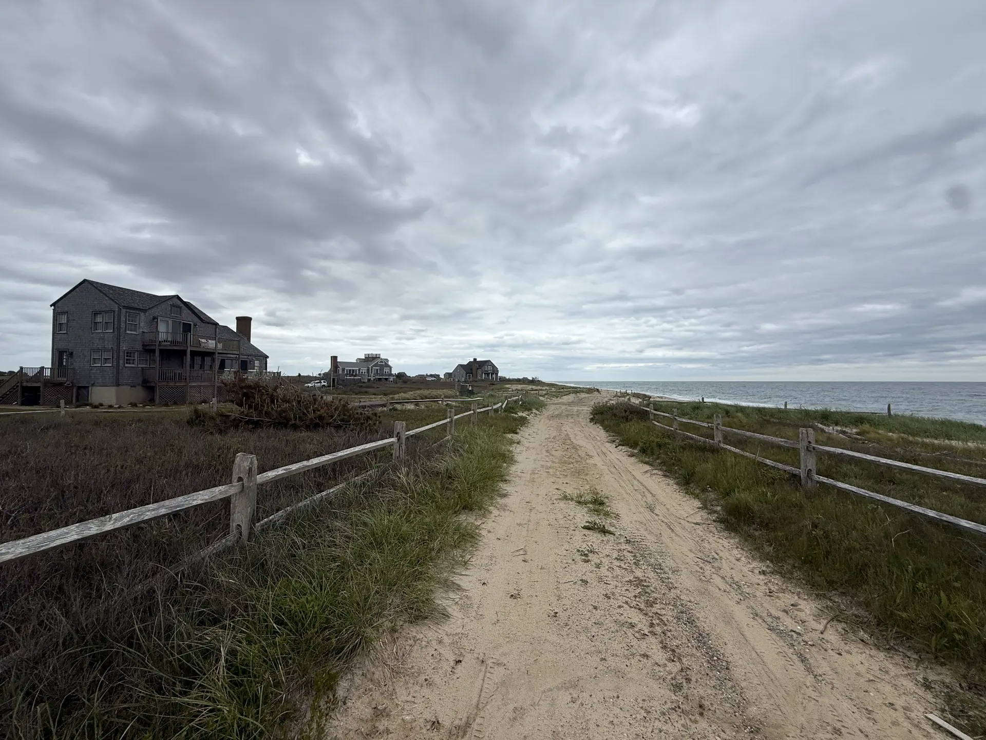
Most Nantucket beaches are private, and most are open anyway
Generations of owners here have let the public use their beaches, and the town's beach rules ask everyone to return the favor by respecting private property. Visitors stay off the dunes, carry out what they carried in, and remember that permission isn't a right. Owners, as the coastal office puts it, shouldn't post signs that discourage the public from using the water's edge to the full extent the law allows.
Plenty of shoreline needs no one's permission, because it is owned for the public: the town's beaches such as Surfside, Jetties, Dionis and Children's Beach, Land Bank beaches including 40th Pole, Cisco, Ladies Beach and Madequecham, the Nantucket Conservation Foundation's Coatue, and the Trustees of Reservations' Coskata-Coatue refuge, free to anyone on foot.
On private sand, courtesy isn't permanent. A property can sell, and a new owner can see it differently. One Big Beach exists to close that gap.
One Big Beach: what an easement gives the public and what the owner keeps
One Big Beach is the town's voluntary program in which a shorefront owner grants the town a permanent easement over the beach part of the property. The town's program page was under construction when I wrote this, so what follows comes from the town's model easement.
- Where it applies: from the mean low-water line up to the foot of the coastal bank, or to where the dunes end. The area moves with the shoreline as erosion and accretion reshape it.
- What the public gets: the right to use that beach the way beaches are used here, including swimming, fishing, surfing, sunbathing, strolling, walking and picnicking. Commercial activity is excluded.
- What stays off limits: the dunes, except on a marked access way or with the owner's written consent.
- Vehicles: the town may allow permitted vehicles in the intertidal area only. From June 1 through September 15 the model limits them to 5 to 10 p.m., unless the town authorizes other dates and evening hours.
- What the town takes on: a continuing duty to supervise, clean, keep order and inspect, and to weigh its beach rules against the owner's peaceful enjoyment of the rest of the property.
- What the owner keeps: title to the land, with retained rights that come second to the public's use, and the right to enforce the terms in court, though not for money damages.
The grant is written as a charitable donation, and whether that produces a deduction is a question for the owner's tax adviser. It also cites the state's recreational use statute to shield the owner from liability claims by beachgoers.
The easement is perpetual and binds heirs, successors and assigns, so whoever buys the house later takes it with the easement in place. One caution: the model is a template, and the version signed for a particular property is the one that governs.
Driving on the beach takes a permit, and which one depends on the beach
The island has three oversand permit systems, and they don't overlap.
- The town's beach vehicle permit is an annual sticker from the Police Department. It expires December 31 whenever it was bought, costs less early in the year, and costs more for vehicles registered off-island. As of the 2026 season it covers the designated driving areas at 40th Pole, Eel Point, Nobadeer, Smith's Point, Point of Breakers, Cathcart Beach and Low Beach. It does not cover Great Point. The town's rules require four-wheel drive and entry only at marked access points.
- The Trustees' oversand permit covers Coskata-Coatue and Great Point. It is sold by the season and picked up at the Wauwinet Gatehouse.
- The Conservation Foundation requires a current oversand permit within its beach areas north of Wauwinet village.
Expect closures. The town says access may be limited by erosion, bird nesting, private posting and seasonal conditions. The Conservation Foundation says parts of its beachfront may close to pedestrians, dogs and vehicles between April 1 and September 15 for nesting and migrating shorebirds. Fees and closures change every year, so check each organization's current page first.
What "waterfront", "beach rights" and "deeded beach access" mean in a listing
None of these is a legal term. Each one is a claim, and each can be checked.
"Waterfront" should mean the lot itself touches the water. If it does, the deed and the recorded plan say where the boundary runs. In Massachusetts the presumption is the low-water mark, unless the documents say otherwise. That boundary moves with the shore, which the guide to coastal erosion covers.
"Beach rights" or "deeded beach access" should mean a recorded right to cross someone else's land. Usually it is a path or a strip leading to the beach, often shared in common with the other lots in a neighborhood. Is it recorded? Does it attach to this lot? Where does it run, who else uses it, and who maintains it? And what does it give you at the far end? A right to reach a beach is not always a right to spend the day on a private one.
"Steps to the beach" is a description, not a right. It tells you about distance, and nothing about what comes with the deed.
How to find out what a particular property has
- The deed and the plan it refers to describe the lot, its boundary at the water, and any rights that come with it.
- The title examination turns up recorded easements in both directions: rights that benefit the property, such as a path to the beach, and rights that burden it, such as a One Big Beach easement.
- The town's online GIS maps show parcel lines. They're a starting point, not proof.
Reading those documents is the buyer's attorney's job, and on a shorefront purchase it is one of the most important parts of the title work. Ask early.
What beach rights do to a property's value
I won't put a number on it, because there isn't an honest one. Documented access is something buyers pay for, and it shows up again at resale. Access that rests on habit is worth what the buyer's attorney says it is. A One Big Beach easement leaves the house with its beach, its view and its own way down. The public's use of the sand becomes a right instead of a courtesy, and on most of this island that is how the beach was already used.