How to look up any Nantucket property's public record
Every guide I have written about selling a house here comes back to the same advice: read the town's file before the buyer's attorney does. Buyers ask me a version of the same thing from the other side, usually starting with who owns a house they walked past. Both questions are answered by public records, and on Nantucket all of them are reachable from a laptop, with a phone call or two for the older paper.
This is the map. Each record is kept by a different office, each answers a different question, and none of them tells you what a house is worth.
The deed: what was sold, to whom, and with what attached
The Nantucket Registry of Deeds, at 16 Broad Street, is the recording office and research library for every land transaction in the county, with records going back to 1659. Deeds, mortgages, easements, liens, plot plans and subdivision plans all land here, and the public can read all of it.
You rarely need to go in. The Registry's records are searchable online at masslandrecords.com, by the names of the parties or by the property address, and the scanned document images open on screen. The Registry says printing from home is free for now, where printing from its public terminals carries a fee. If you want to watch your own property, the Registry runs a free Consumer Notification Service that emails you when a document is recorded in your name, for up to three properties.
Two things trip up first-time readers. The first is that Nantucket runs two systems of land records. Most parcels are recorded land, cited by book and page. Some are registered land, where title is guaranteed by the Massachusetts Land Court and the parcel is found by its certificate of title number instead. The town's own forms ask for "book and page number of deed or certificate of title number" for exactly this reason. If a search by name turns up nothing, try the other side of the index. The second is that the deed tells you what passed and when, not what the property is worth or what is built on it. For that you need the next two records.
The assessor's card: Vision, and why it isn't a value
The Assessor's office at 37 Washington Street publishes every parcel's assessment through the Vision database at gis.vgsi.com/nantucketma. You can search by address, owner name, map and lot, account number or parcel ID. The card shows the assessed values of land and building, the lot size, the living area, the rooms, the year built, the recorded sale history and, for many parcels, a photograph. The town itself notes that not every property has one and that the listed year built "may not reflect the original date of construction," which on an island of moved and rebuilt houses is worth remembering.
Read the date at the top. The values posted for fiscal year 2026 are the assessor's estimate of market value as of January 1, 2025, built from calendar-2024 sales. That is the assessor's job, done on the assessor's calendar, and it is a tax figure. I have written at length about why the number on the tax bill isn't your home's value. A card is an inventory of the house as the town understands it, and a very good one for checking square footage, bedroom counts and what the town thinks sits on the lot. It is not a price.
One trap to know about. When a single deed covers several lots, the full sale price prints on every lot's card. A sale history showing a modest cottage trading for a compound's price usually means the cottage was part of a larger transfer, and the deed will say so.
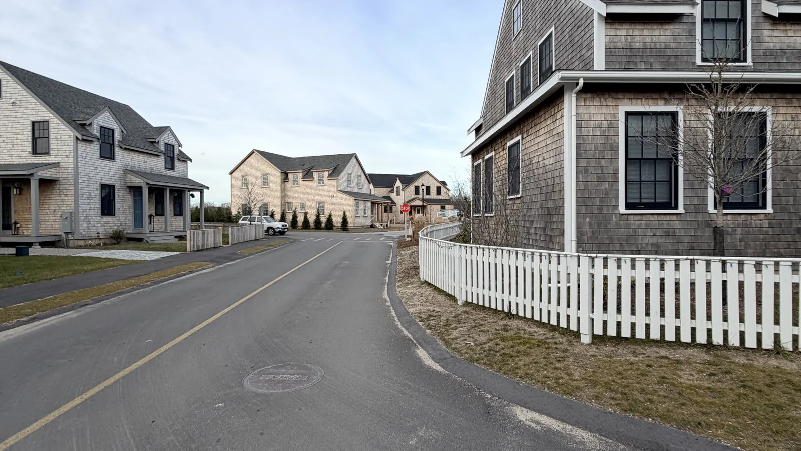
The town map: the GIS viewer
The town's geographic information system is the quickest way to see a parcel in context. The interactive map, MapGeo, is linked from the town's GIS Maps page at nantucket-ma.gov, and the property information on it is refreshed nightly from the Assessor's database. Click a lot and you get its owner of record, its map and lot number, and the links back to the Vision card.
The layers are what make it useful. The town publishes its zoning districts and the overlay districts, the Historic Districts map, the harbor and pond protection districts, the wellhead recharge zones and the Town and 'Sconset sewer districts, among others. Which district a lot sits in decides what it can hold, so this is where a renovation or a second dwelling starts; the zoning guide explains what the districts mean.
Two cautions from the town itself. The parcel lines are the GIS department's recreation of the lines recorded at the Assessor's Office, there are areas of the island where that data is less accurate than others, and the town is explicit that the lines "are not the legal representation of your property." Printouts carry a "map for reference only" stamp for a reason. A boundary question is answered by a survey and the recorded plan, not by the map. And for the flood zone, go to FEMA's own map and our flood guide rather than assuming a layer: the town's map page lists zoning, historic and water-resource maps, not FEMA zones.
The permit file, and the Historic District Commission's
This is the record the buyer's attorney reads, and the one most sellers have never opened. The Planning and Land Use Services department, the PLUS department at 2 Fairgrounds Road, holds the building permits, site plans, plot plans, architect's plans, electrical and plumbing permits, HDC certifications, variances and special permits for every property.
The online door is the town's Citizen Self Service portal, the public side of its EnerGov permitting system. You can read permit forms and requirements without an account; the search function looks up permits, plans and inspections; applying for anything requires registering. For a file that predates the system, or for the plans themselves, ask the department. The town answers public records requests within ten business days, electronic copies carry no copying fee, paper runs five cents a page, and the first two hours of staff time are free.
What you are looking for is simple: a permit, and the certificate of occupancy or final inspection that closed it, for the house and for every addition or system since. A deck, a finished basement or an outdoor shower with no permit behind it is the thing that surfaces late in a sale; the guide to selling with unpermitted work explains what happens next.
The Historic District Commission keeps a parallel file, because the whole island, Tuckernuck and Muskeget included, is one historic district of some 30,000 acres, and no building may be constructed or altered in a way that affects its exterior without the Commission's approval. Each approval is a Certificate of Appropriateness. The Commission's agendas and minutes are on the town's meeting portal, with the certificate number recorded beside each vote, and its view packs and staff comments are on a separate document portal linked from the HDC page. For a property-by-property answer, the Commission's office is the surest route.
The septic record at the Health Department
Most of the island is on septic, and the Health Department keeps the file: the disposal system construction permit, the as-built plan, the certificate of compliance that closed the installation, Title 5 inspection reports and pumping records. New systems are also registered in the Barnstable County environmental database. The department issues the permits and witnesses the inspections, so its file is the one that settles how many bedrooms a system was designed for. Our Title 5 guide covers what the report means; the request itself goes to the Health Department by phone or as a public records request.
Two more files worth knowing about
The Conservation Commission's orders, for any work near a wetland or the shore, are recorded in the chain of title at the Registry or the Land Court, so a deed search surfaces them, and a certificate of compliance should follow each one. The Conservation Commission guide explains those filings. And the Zoning Board of Appeals' decisions are in the PLUS file with the permits. A house near water or a house that needed relief usually has both.
What the record can't tell you
The public record tells you what passed, what the town thinks is there, what was permitted and what the land may hold. It does not tell you the condition of the house, whether the kitchen was done well or merely permitted, what the neighbors are planning, or what a buyer would pay for it this season. The last one is the question I get asked most, and the answer comes from matched LINK sales, not from any card. If you are weighing a sale, start with the valuation page and I will build the number from the evidence.